
Catching the right bus, avoiding morning traffic jams, finding the last train, knowing if the bike is better than the metro: our daily commutes now rely on a handful of transport and navigation apps. Well chosen and used, they save a considerable amount of time — and spare a lot of stress. But between the app that knows your bus lines, the one that sees traffic jams, and the one that compares all modes, each has its strengths. This guide helps you compose your ideal navigation kit and exploit the features that truly change your trips.
The three families of apps
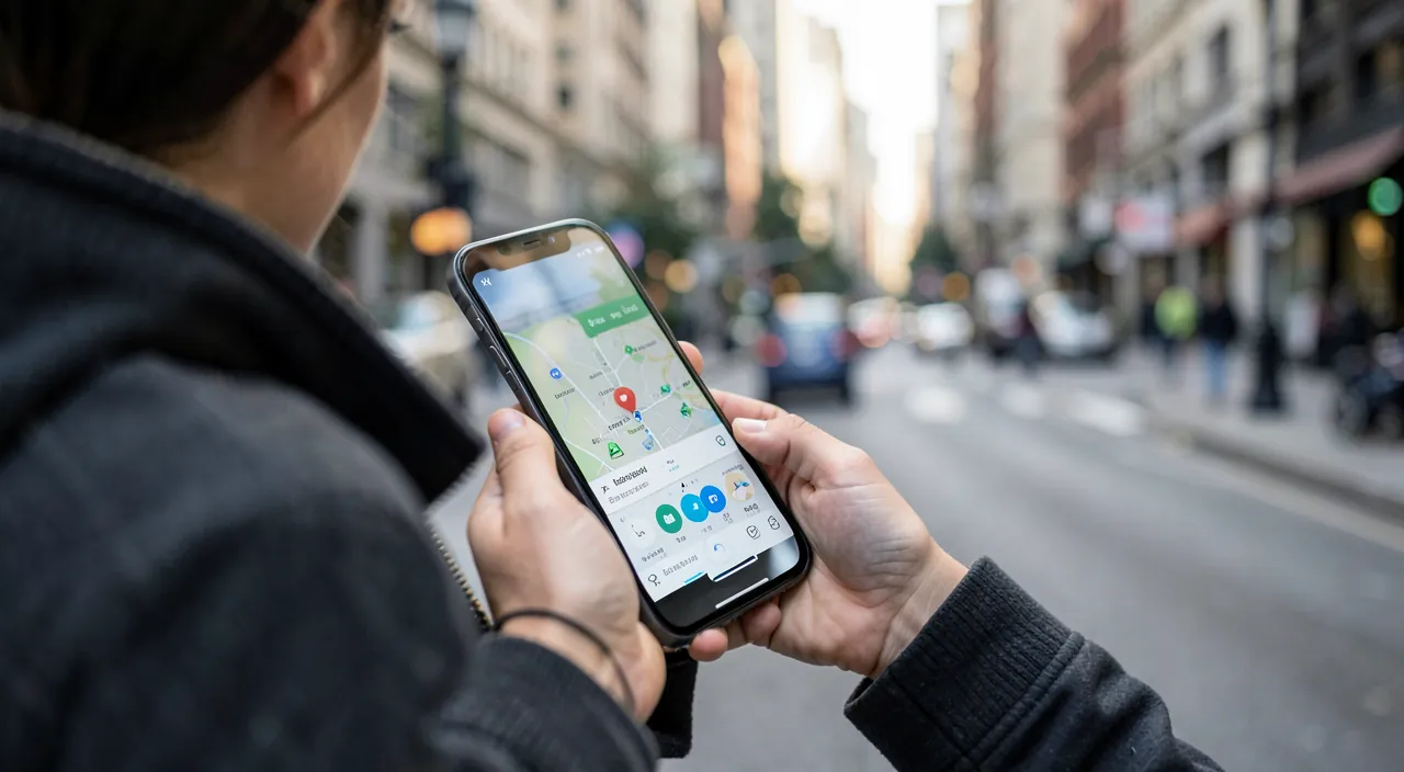
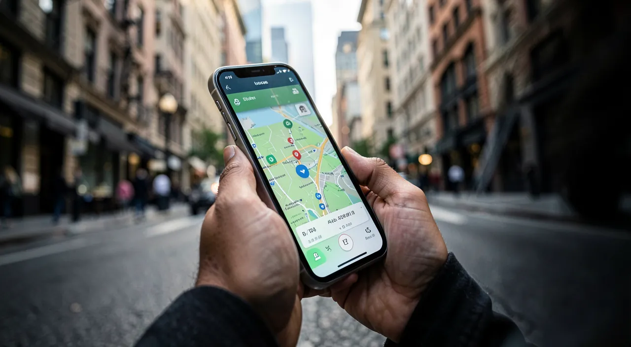
To make sense of it, let’s distinguish three complementary roles. Road navigation apps: car guidance with real-time traffic, community reports (jams, accidents, speed traps), and constant recalculation of the best route. Public transport apps: real-time schedules, connections, disruptions — including the official apps of your local network, often the best informed about daily issues. And the multimodal ones, which compare all modes (car, public transport, bike, walking, combinations) for the same trip. The best kit usually combines one of each, depending on your habits.
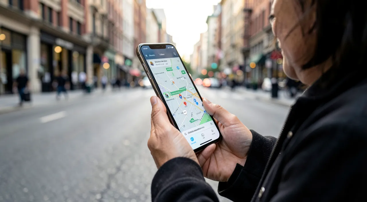
The features that change daily commutes
- Real-time traffic and recalculation: the app that reroutes you before the jam is worth its weight in gold for home-to-work trips.
- Real-time schedules: the bus « in 4 minutes » in real time, not the theoretical schedule — all the difference when it’s raining.
- Disruption alerts: being notified of a strike or a closed line before leaving changes your day.
- Calculated departure: « leave at 8:12 to arrive at 9:00 » — the app that monitors traffic for you.
- Offline maps: the downloaded map that saves the day in a dead zone or abroad.
- The right parking spot: finding your car with a gesture — the small service you won’t forget once you’ve tried it.
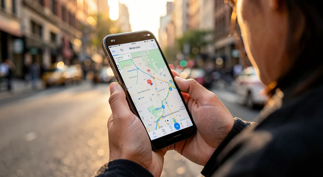
The right reflex. Save your recurring trips (home, work, school) in your apps: they will proactively notify you — « plan 15 extra minutes this morning » — without you asking. The best navigation tool is the one that alerts you before you even think to check it.
These apps help you choose the best way to travel by giving you real-time information. They can tell you if traffic is bad, if your bus is late, or if there’s a strike. The best ones even suggest the fastest or cheapest way to get where you’re going, whether by car, bike, or public transport.
Imagine you’re in Paris and need to get from the 10th to the 15th arrondissement. A multimodal app might tell you that taking the metro (Line 7) will take 25 minutes, while driving could take 40 minutes due to traffic. It might also show that biking would take 30 minutes but cost nothing. This helps you pick the best option for your trip.
How to properly use in-car guidance
Two common-sense rules transform the experience. First, set everything up before driving: destination entered, route chosen, then the phone in a holder or on the vehicle screen — never in hand (it’s dangerous and punishable). Voice does the rest. Then, keep your judgment: guidance optimizes overall time but may lead to unsuitable streets or questionable shortcuts; a recent sign, a closed road, a neighborhood to avoid — humans decide. Guidance is a copilot, not a pilot.
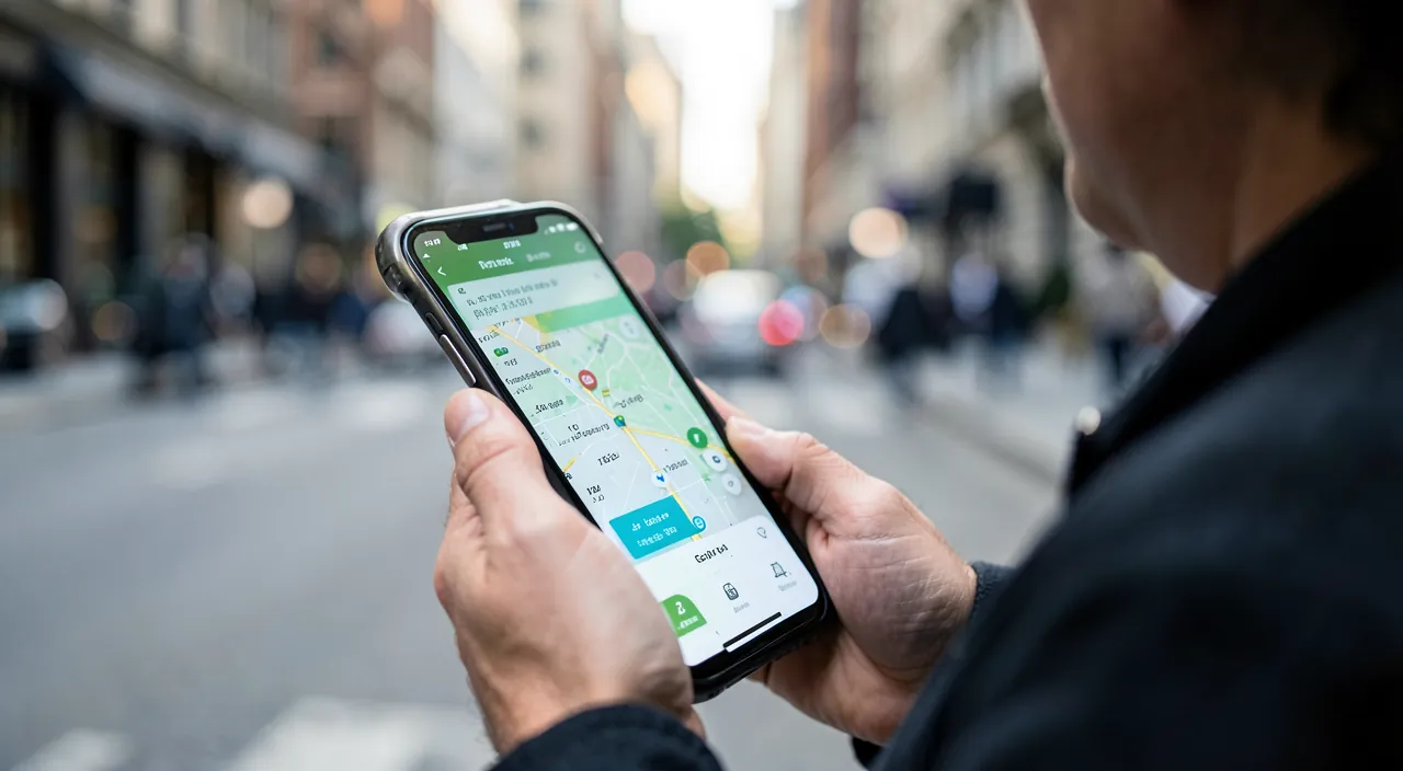
The multimodal reflex, the hidden savings
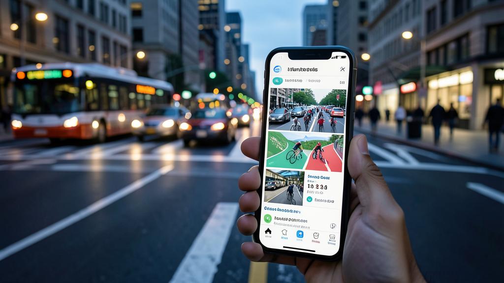
The most profitable habit, especially in cities: compare modes before leaving. For the same urban trip, the car is often neither the fastest (jams, parking) nor the cheapest; the bike or the train + walking combination often wins. Multimodal apps do this comparison in one gesture — duration, cost, sometimes carbon footprint. On a daily trip, choosing the right mode can save hours per week and real money per month: the 10-second comparison is one of the best daily investments.
To keep in mind. Navigation apps naturally collect your movements — very sensitive data (home, work, habits, frequented places). Sort it out: « while in use » location rather than « always, » location history deactivated or regularly cleared if you don’t want it, and preference for data-light apps when an equivalent exists. The service provided doesn’t justify everything.
Frequently asked questions
Should you use one app or several?
In practice, two or three complement each other well: a road navigation app with traffic, the official app of your local network for disruptions, and a multimodal one to compare. Each excels in its role.
Are community reports reliable?
Generally yes for traffic (the mass of users ensures accuracy), with a slight delay on recent events. That’s their strength: millions of drivers are worth all the sensors.
How to prepare for a trip abroad?
Download offline maps of the destination before leaving (on Wi-Fi), identify the local transport app, and check your data plan. Offline navigation saves a lot of costs and network outages.
What to remember
Moving well today means assembling your kit: real-time traffic road navigation, your local network’s app for schedules and disruptions, a multimodal one to compare modes — often the true source of time and money savings. Use proactive features (saved trips, alerts, calculated departure), prepare everything before driving, keep your judgment against guidance, and download offline maps before trips. Finally, keep an eye on location data, which is sensitive by nature. Well equipped, every trip starts with the right decision — and ends on time.
Want to master your everyday digital tools?
Leave a Reply
You must be logged in to post a comment.