
Taking the bus, metro, tram, knowing when the next train arrives, finding the best route, buying your ticket without queuing: transport apps have transformed our city travel. No more waiting without knowing, getting lost, or searching for change! Whether you’re a resident, occasional traveler, or visiting an unfamiliar city, these apps save you time and stress. You just need to know which ones to use and how. Here’s how to move around the city easily thanks to transport apps.
What transport apps allow
Let’s explore everything these apps make possible, often for free. REAL-TIME SCHEDULES: no more waiting without knowing; apps show when the next bus, metro, or tram arrives in REAL TIME (including delays and disruptions); you know if you have time or if you need to run. ROUTE CALCULATION: enter your starting point and destination, and the app suggests the best route, including transfers, lines to take, walking times, and total duration; it often compares multiple options (fastest, fewest transfers, least walking). MAPS and plans: network maps, stop and station locations, and your position on the route. DISRUPTIONS and traffic info: construction, strikes, incidents, interrupted lines; the app alerts you and suggests alternatives. TICKET PURCHASE: many cities allow you to buy your ticket or subscription directly in the app (digital ticket on your phone), or validate with your phone; no more queuing or needing change. MULTIPLE modes: many apps combine bus, metro, tram, train, but also free-bike sharing, scooters, carpooling, and taxis; they offer “multimodal” trips (combining multiple modes). WHAT types of apps? The OFFICIAL app of your city’s transport network (usually the most complete and reliable for that network: schedules, tickets, disruptions), and GENERAL MAP/ROUTE apps (which include public transport for many cities: practical, especially when traveling). WHO is it for? Everyone: residents (saving daily time), occasional travelers (navigating without stress), and especially TRAVELERS in an unfamiliar city (moving around easily even without knowing the network). What to remember to start: transport apps show real-time schedules, calculate the best route, alert you to disruptions, and often allow you to buy tickets; they cover all modes (bus, metro, tram, but also bikes, etc.); they save time and stress, whether you’re a resident or visitor; they’ve become an essential tool for city travel. Let’s see how to use them best.
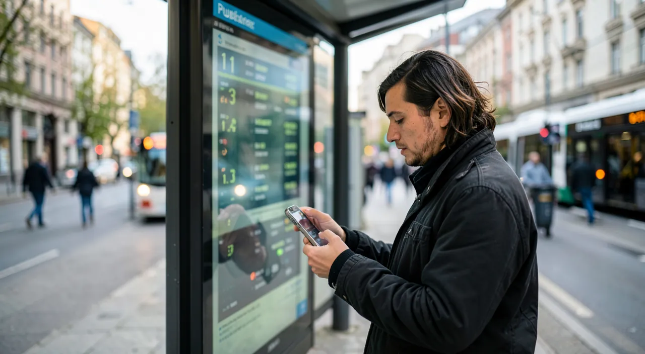
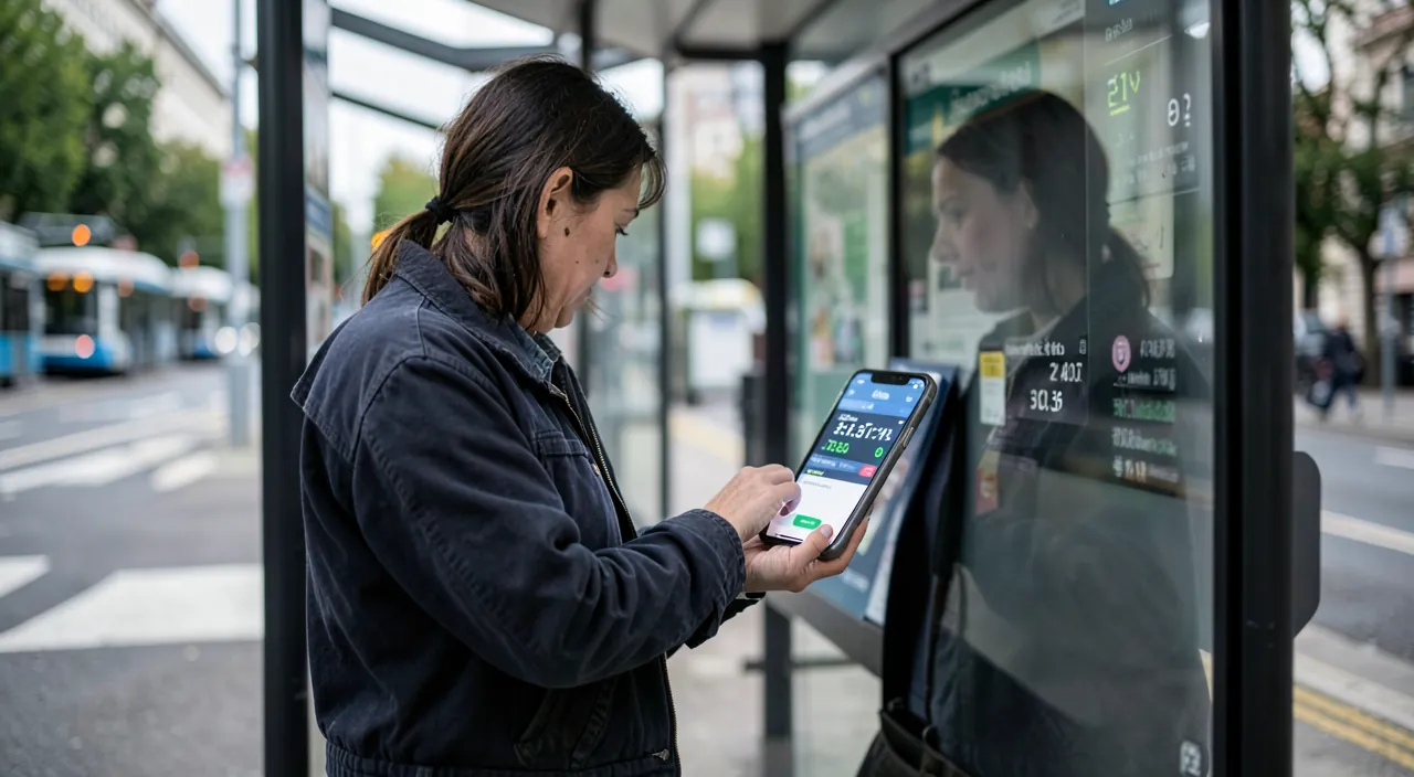
Transport apps give you real-time info about buses, metros, and trams. They show you the fastest route, warn you about problems, and let you buy tickets directly on your phone. They work for all kinds of transport, not just public transit.
In Paris, the RATP app shows you when the next metro will arrive at your station. If Line 1 is delayed, it tells you and suggests taking Line 14 instead. You can also buy a single ticket directly in the app for €2.10 (as of 2026) without needing cash.
Using transport apps effectively
Here’s how to get the most out of these apps, daily and while traveling. CHOOSING the right app: for your city, the OFFICIAL app of the transport network is often the most complete (precise schedules, ticket purchases, real-time disruptions); for navigating an unfamiliar city or combining modes, a GENERAL MAP/ROUTE app is very practical (it includes transport for many cities); you can use both as needed. CALCULATING your route: enter your departure and destination; the app suggests the route, lines, transfers, and duration; compare the options and choose based on your preferences (speed, less walking, fewer changes). CHECKING real-time schedules: verify when your bus/metro arrives before leaving (no need to wait at the stop) or at the stop (real waiting time); adapt to delays. FOLLOWING your route: the app can guide you during the trip (when to get off, where to transfer), useful when you don’t know the area. BUYING and VALIDATING your ticket: if your city allows it, buy your ticket or subscription in the app (digital); sometimes, you validate directly with your phone (contactless); no more queuing or needing change; keep the ticket accessible for checks. ANTICIPATING disruptions: check traffic info before an important trip; optionally, enable alerts on your usual lines (to be notified of disruptions). SAVING favorite trips and stops: save your recurring trips (home-work), your usual stops; the app gives you the info with one tap. USING WIDGETS and shortcuts: some apps offer widgets (next arrivals at your favorite stops directly on the home screen). WHILE TRAVELING: in an unfamiliar city, a transport/mapping app is invaluable; optionally, download offline maps/data before, to use it without a network or avoid roaming charges (see our guides on preparing your phone for travel). PLANNING a BUFFER: real-time schedules are reliable but not perfect (unexpected issues); keep a buffer for important appointments. In summary: choose the right app (official network and/or general mapping), calculate your route, check real-time schedules, buy/validate your ticket in the app if possible, anticipate disruptions, save your favorite trips, and while traveling, think about offline use; these uses make transport apps a daily ally that simplifies your trips.
The winning combo: the official app of your network + a mapping app for the rest. To move around efficiently, two types of apps complement each other; knowing their strengths helps you choose. ONE, the OFFICIAL app of your city’s transport network: it’s usually the MOST COMPLETE and RELIABLE for THAT network; it offers the most precise real-time schedules, real-time disruptions on lines, and especially the PURCHASE and validation of digital tickets/subscriptions (a real time-saver: no more queuing or needing change); install it for your city, save your favorite trips and stops, and enable alerts on your usual lines (to be notified of disruptions before leaving). It’s your daily tool. TWO, a GENERAL MAP/ROUTE app: it includes public transport for many cities, combines modes (bus, metro, bike, walking…), and offers detailed routes; it’s especially useful when you’re in an UNFAMILIAR city (while traveling, on a trip), or to combine multiple transport modes; it guides you step-by-step even without knowing the local network. In practice: for your city and usual trips, the official network app (tickets, precise schedules); for navigating elsewhere or combining modes, the mapping app; both together cover all your needs. A few tips to go further: save your FAVORITE trips (home-work) for one-tap access; add a WIDGET to your home screen showing the next arrivals at your usual stops; enable DISRUPTION alerts on your lines; and WHILE TRAVELING, download offline maps and data before departure, to use the app without a network or roaming charges (essential in a foreign city where you may not have internet). With this combo — official network app for daily use and tickets, mapping app for the unknown and multimodal, plus favorites and offline use — you move around the city with remarkable ease, whether at home or on the other side of the world. These apps transform transport from a source of stress (waiting, uncertainty, getting lost) into a smooth and controlled experience.
Beyond public transport: complete mobility
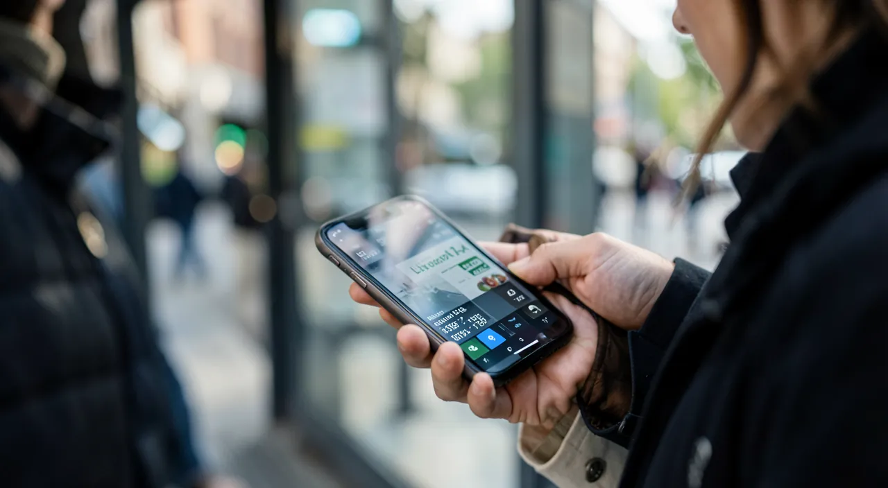
Today, mobility apps go far beyond buses and metros: an overview. FREE-BIKE SHARING: many cities offer free-bike sharing (with or without stations); apps allow you to locate, unlock, and pay for them; practical for short distances, eco-friendly, and often fast in the city. SCOOTERS and other devices: similarly, apps manage electric scooters (locate, unlock, pay); useful for short trips (with caution and respect for rules). CARPOOLING: apps connect drivers and passengers to share trips (in the city or between cities); economical and friendly. TAXIS and ride-hailing: apps allow you to order a car with a driver, see the price in advance, track arrival, and pay in the app; practical when public transport isn’t enough. PARKING: apps help pay for parking, find a spot, or a parking lot. MULTIMODAL trips: the best apps combine all these modes to offer the optimal route (e.g., walking + metro + bike); they adapt to your preferences (speed, price, eco-friendliness, effort). GLOBAL urban mobility: the idea is to have, on your phone, everything you need to move around the city BY ALL MEANS, depending on the moment’s need; apps facilitate switching from one mode to another. PRACTICAL aspects to know: PAYMENT is often integrated (card registered in the app): practical, but be mindful of prices and possible fees; compare options (bikes may be faster and cheaper than taxis in the city center); respect RULES (bike/scooter parking, traffic code, safety); and keep in mind PRIVACY concerns (these apps know your movements — see our guides on managing location sharing). ACCESSIBILITY: some apps indicate accessibility (elevators, adapted stations) for people with reduced mobility. CHOOSING based on need: public transport for long urban trips (economical); bikes/scooters for short distances; taxis/ride-hailing for comfort or when public transport isn’t enough; carpooling to share; adapt according to the situation. In summary: mobility is no longer limited to public transport; apps cover bikes, scooters, carpooling, taxis/ride-hailing, parking, and offer multimodal trips; you have everything on your phone to move around the city by all means, choosing the mode suited to each trip; be mindful of prices, rules, and privacy. All of urban mobility now fits in your pocket.
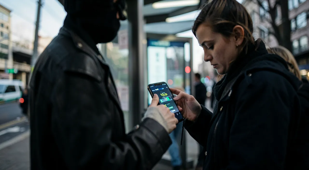
Warning: keep a buffer, watch prices, and think about privacy and offline use. A few points of vigilance for using transport apps serenely. Don’t blindly TRUST schedules: real-time info is reliable but not perfect (unexpected issues, sometimes delayed data); for an IMPORTANT appointment (train, flight, meeting), keep a SAFETY BUFFER and don’t leave at the last minute; the app is a help, not an absolute guarantee. Watch PRICES and fees: integrated payment (registered card) is practical but can make you forget the cost; taxis/ride-hailing, free-bikes, and scooters have variable prices (sometimes surcharged during peak hours, or with fees); check the price BEFORE validating; compare options (public transport is often much cheaper than taxis; bikes can beat everyone in the city center); beware of subscriptions and registered cards (automatic debits). Beware of SCAMS and fake apps: download apps from OFFICIAL stores; be wary of fake transport apps or suspicious payment links; only register your banking info in reliable apps. Think about PRIVACY: these apps know your movements (they use your location); it’s useful, but be aware of these data; limit location permissions to “when I use the app” if you wish, and check what the app collects (see our guides on managing location sharing). Anticipate OFFLINE use and BATTERY: these apps need the internet (and location); in case of network loss (underground, poorly covered area, abroad), they may be limited; download offline maps when possible (especially while traveling), and monitor your BATTERY (navigation apps consume; being without battery or a map in an unfamiliar city is problematic — see our guides on saving battery); keep a backup plan (paper, or memorizing the main route). Respect RULES and SAFETY: for bikes and scooters, respect the traffic code, authorized parking, wear a helmet, be careful; don’t check your phone while driving or crossing. Plan an ALTERNATIVE in case of major disruption (strike, breakdown); the app often suggests solutions, but have a plan B. Finally, for those less comfortable (elderly people), these apps may seem complex; support can help (see our guides on helping a loved one with tech). By keeping a time buffer, watching prices, protecting your privacy, anticipating offline use and battery, and respecting safety rules, you fully enjoy transport apps without surprises; they remain a fantastic tool, to be used with a bit of common sense.
Frequently asked questions
Which app to choose for public transport?
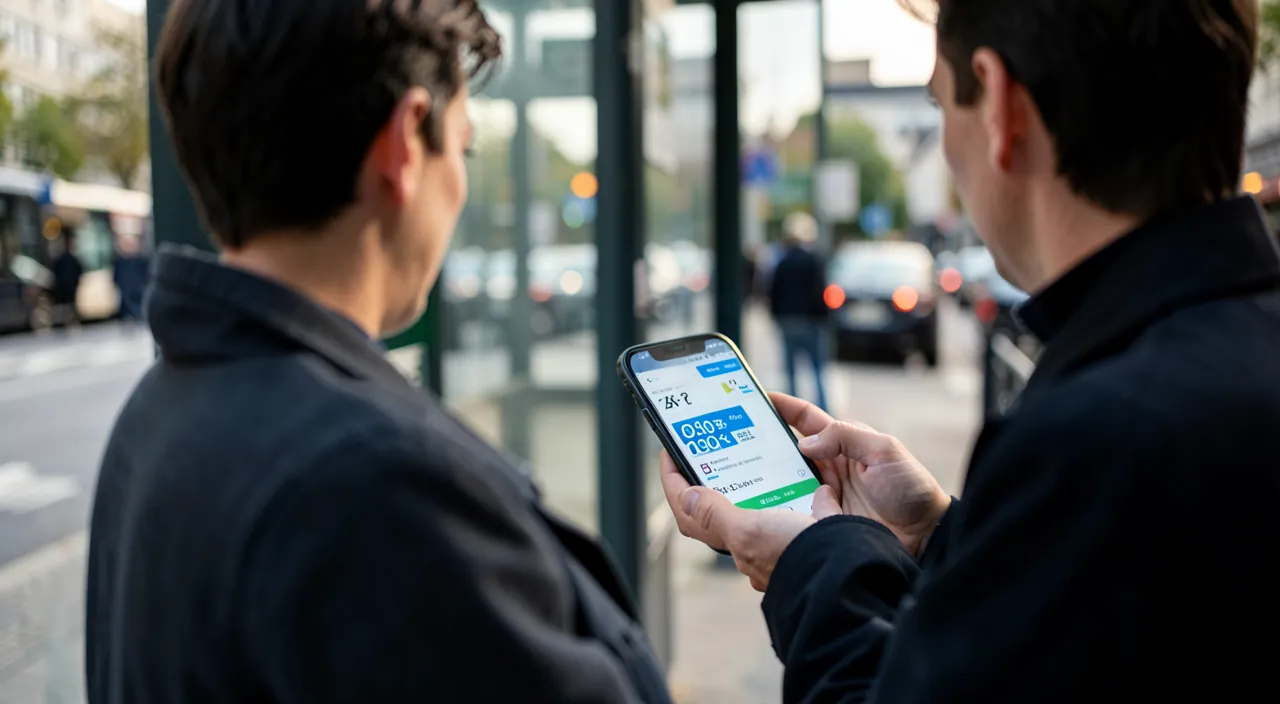
It depends on your need; ideally, combine two types. For YOUR city and usual trips: the OFFICIAL app of your city’s transport network is often the most complete and reliable; it offers the most precise real-time schedules, real-time disruptions, and especially the PURCHASE and validation of digital tickets/subscriptions (a real time-saver); it’s the app to install for daily local use. To NAVIGATE an unfamiliar city, or COMBINE multiple transport modes: a GENERAL MAP/ROUTE app is very practical; it includes public transport for many cities, calculates detailed routes (with transfers, walking times), and combines modes (bus, metro, bike…); it’s invaluable when traveling or on a trip, as it guides you even without knowing the local network. In practice, many people use BOTH: the official app of their network for daily use (tickets, precise schedules of their city), and the mapping app for the unknown and multimodal. How to choose concretely: for your city, look for the official app of its transport network (usually easy to find, often free); for a general app, major mapping apps include public transport. Download from official stores, and prefer well-rated and official apps. Once installed, take a few minutes to save your favorite trips and stops, and explore the features (tickets, alerts). In summary: the official app of your network for daily use and tickets, a mapping app for the unknown and multimodal; both complement each other; choose based on whether you’re at home or traveling.
Can you buy your ticket directly on your phone?
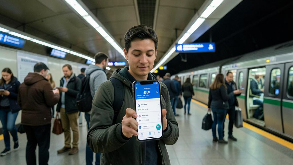
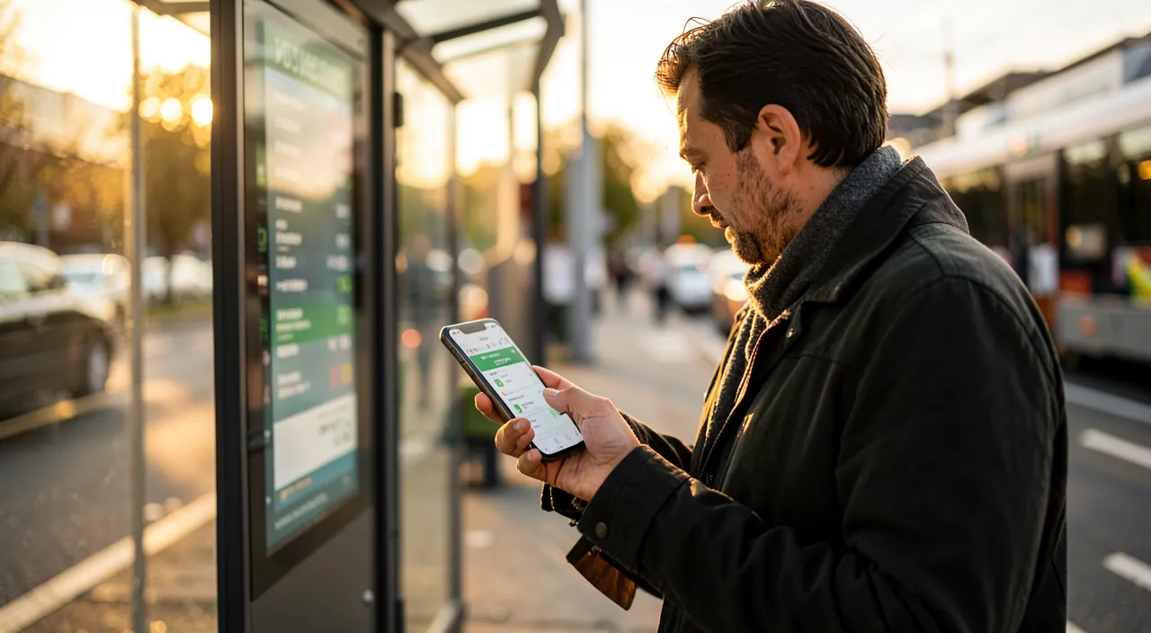
Yes, in more and more cities: it’s one of the major advantages of transport apps. Many networks now allow you to BUY your ticket or subscription directly in the official app of the network: the ticket is then DIGITAL (stored on your phone), and you no longer need to queue at the counter or at the machine, or have change; you buy in a few taps, whenever you want. VALIDATION varies by city: sometimes you show a code (QR code) displayed in the app, sometimes you validate contactless with your phone (like contactless payment), sometimes the ticket is simply to show in case of a check; the app tells you how to do it. Some networks also allow you to pay directly with your bank card or phone (contactless payment) at the entrance, without even buying a ticket in advance. The advantages: time saved (no queuing), no need for change, ticket always with you (in the phone), possibility to buy remotely (before arriving at the stop). A few precautions: make sure your phone has BATTERY (a digital ticket on a turned-off phone is useless during a check!); keep the ticket ACCESSIBLE (know how to find it quickly for a check); verify that you’ve VALIDATED according to the network’s rules; and only register your payment info in the OFFICIAL and reliable app of the network (beware of fake apps). Not all cities offer digital ticket purchases yet, but it’s becoming more common; check what the network of your city offers in its official app. In summary: yes, in many cities, you can buy and validate your ticket directly on your phone via the official app of the network; it’s practical (no queuing or change), provided you have battery and keep the ticket accessible for checks.
Do these apps work without an internet connection?
Partially: they mainly need the internet for REAL-TIME features, but some functions work offline if you prepare. What REQUIRES the internet: REAL-TIME schedules (real positions of buses/metros, delays, real-time disruptions), updated route calculation, ticket purchases; without a connection, these “live” functions are limited or unavailable. What can work OFFLINE: if you’ve DOWNLOADED the maps and data of the city/network in advance (many apps allow this), you can check MAPS, routes (based on theoretical schedules), and navigate without a connection; it’s invaluable in the metro (often no network underground), in poorly covered areas, or ABROAD (to avoid data charges or lack of network). The key tip, especially while TRAVELING: BEFORE your trip (when you have good WiFi), DOWNLOAD the offline maps and data of the city you’re going to; thus, even without internet on site, you’ll be able to navigate and calculate basic routes; it’s also useful to save your data or in case of unreliable network. However, keep in mind that offline, you lose REAL-TIME (delays, real-time disruptions); schedules will be theoretical; plan a buffer. Another point: monitor your BATTERY (these apps, especially with location, consume); being without battery in an unfamiliar city is problematic; and a digital ticket requires a turned-on phone. In summary: transport apps mainly need the internet for real-time and tickets, but basic maps and routes can work OFFLINE if you download the data in advance; think about it especially while traveling (download before leaving), while keeping a buffer (no real-time offline) and an eye on your battery.
What to remember
Transport apps have transformed city travel: they show REAL-TIME SCHEDULES (no more waiting without knowing), calculate the best ROUTE (with transfers and duration), alert you to DISRUPTIONS, and often allow you to BUY your ticket directly on your phone (no more queuing or change); they cover all modes (bus, metro, tram, but also bikes, scooters, carpooling, taxis/ride-hailing), and offer MULTIMODAL trips. They’re useful for everyone: residents (saving time), occasional travelers, and especially TRAVELERS in an unfamiliar city. The WINNING COMBO: the OFFICIAL app of your city’s network (the most complete and reliable for daily use: precise schedules, digital tickets, disruptions) + a GENERAL MAP app (invaluable in an unfamiliar city and for combining modes). Tips: save your favorite trips and stops, add a WIDGET for next arrivals, enable DISRUPTION alerts on your lines, and while TRAVELING, download offline maps BEFORE leaving (to use without a network or roaming charges abroad). Beyond public transport, complete mobility fits in your pocket: free-bikes and scooters, carpooling, taxis/ride-hailing, parking; choose the mode suited to each trip (public transport for economy, bikes for short distances, taxis for comfort). POINTS OF VIGILANCE: keep a TIME BUFFER for important appointments (real-time isn’t perfect); watch PRICES (check the price before validating, compare options, beware of fees and automatic debits); download apps from OFFICIAL stores (beware of fake apps); think about PRIVACY (these apps know your movements; limit location permissions); anticipate OFFLINE use and monitor your BATTERY; and respect SAFETY rules (bikes/scooters: traffic code; don’t check your phone while driving). With good use — good apps, favorites, offline, and a bit of common sense about prices, privacy, and safety — transport apps save you precious time and transform your city travel, at home or while traveling, from a source of stress into a smooth and controlled experience.
Want to go further with your phone and apps? Our practical training is made for you.
Leave a Reply
You must be logged in to post a comment.