
The three-hour loop found in two minutes, the trail followed to the letter even without a network, the elevation known BEFORE the calves, and the return told by a beautiful map: hiking apps have transformed the nature outing — no more outdated topo-guides and dubious intersection U-turns. But they also have their pitfalls (the overestimated unknown trail, the dead battery halfway, the forgotten offline mode): choosing the right app, preparing your outing, navigating on the terrain, and hiking safely — the complete guide for the connected walker, from Sunday family hikes to committed treks.
Choosing your app: families and good use
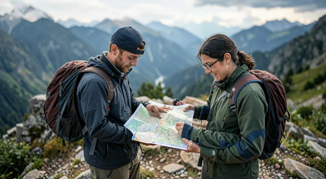
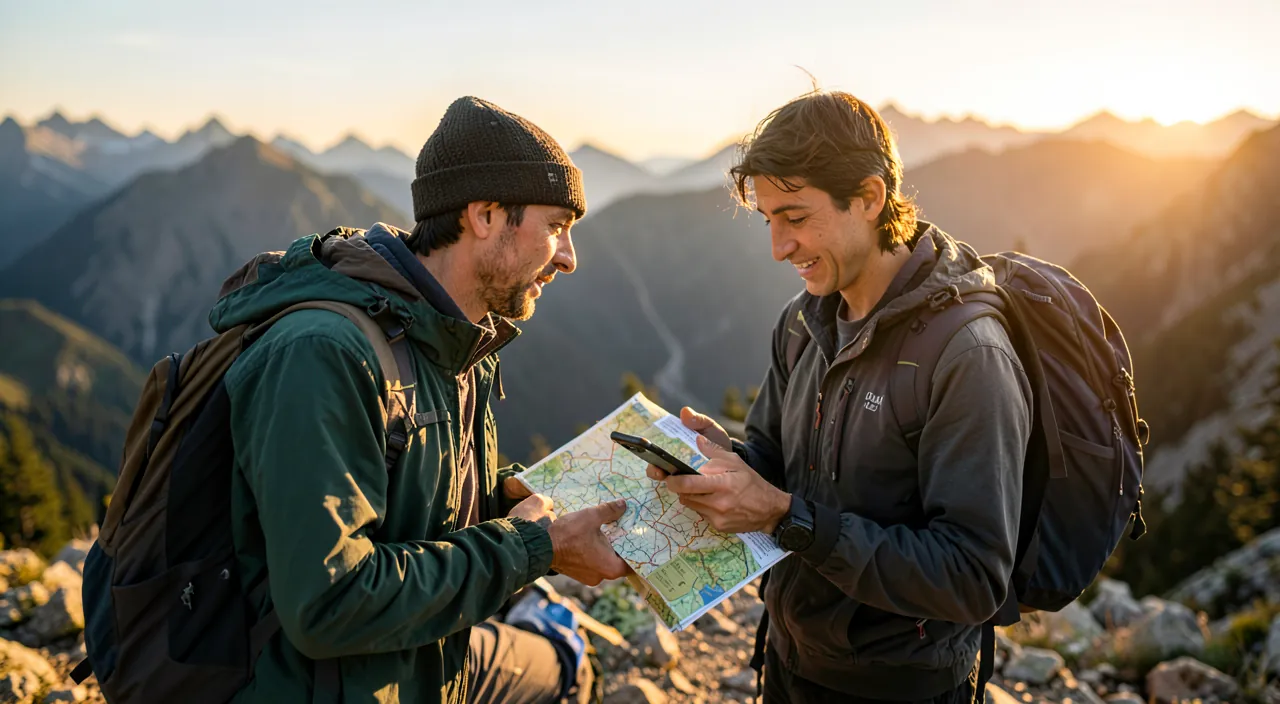
The landscape in three schools: the community loop apps — the large platforms of shared hikes (millions of routes rated, filtered by duration/difficulty/type — the “family loop of 2h nearby” found in two minutes: the school of DISCOVERY, ideal for Sunday — with critical thinking: see the preparation); the serious mapping apps — the official topographic maps (the contour lines, the real marked trails — the digital equivalent of reference paper maps: the school of NAVIGATION, that of mountaineers and homemade route tracers), often with a reasonable subscription that’s worth its price as soon as you leave the beaten paths; and the sport trackers (our running and pedometer guides — recording and statistics: the school of PERFORMANCE, as a complement); the pragmatic choice — the occasional hiker does well with a free community app; the regular one adds topographic mapping (the discovery + navigation duo covers everything); and EVERYONE activates the cross-functional skill: the offline mode — the area maps downloaded BEFORE (the absolute reflex of our travel guides: mountains and deep countryside are naturally white zones — the app without its offline map is a dead weight: downloading the day before is THE gesture that separates the tool from the gadget).
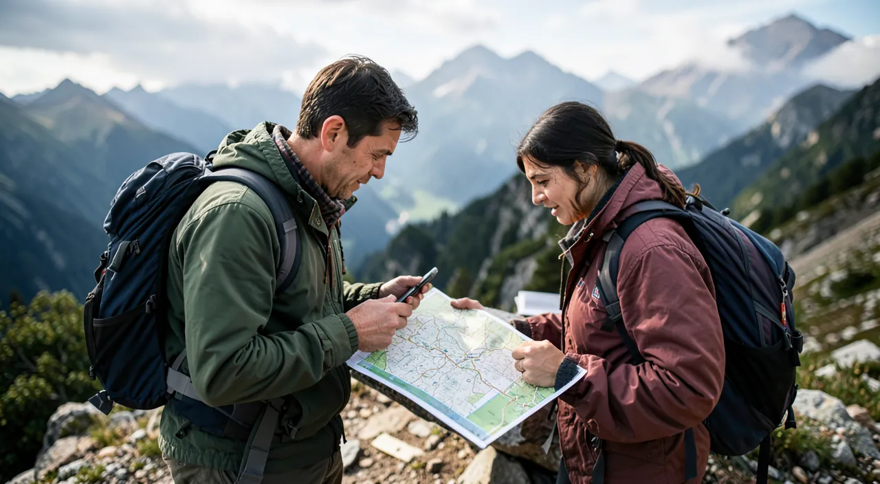
Hiking apps fall into three main types: discovery apps (great for finding trails), navigation apps (for precise maps), and performance apps (for tracking fitness). The key is to always download maps offline before heading out, especially in remote areas where there’s no signal.
A family in the Alps uses a free community app to find a 2-hour loop near their chalet. They download the offline map the night before, ensuring they can navigate even without cell service. The app helps them avoid getting lost, and they enjoy a stress-free hike with beautiful views.
Preparing the outing: reading a route like a pro
The outing is won the day before: reading beyond the stars — the community rating indicates enjoyment, not YOUR difficulty: the numbers that count — the distance AND the positive elevation gain (the judge: 400m of D+ turns a “stroll” into effort — the estimation rule: count your hour per 300-400m of D+ IN ADDITION to the distance time), the type of terrain (recent reviews say it — “muddy at the moment,” “cabled passage”: read the LATEST reviews, not the average), and the season (the summer trail on the north side is another hike in November); cross-check — the community route verified on the topo map (the official marked trail against the trace of an unknown — amateur routes sometimes cut off-trail or use restricted areas: the real markings and reserves must be respected), the MOUNTAIN weather if in the mountains (valley weather lies about the summits — specialized mountain weather apps), and the schedules (the setting sun is calculated: sunset time MINUS estimated duration MINUS margin = the departure deadline); calibrate to the group — the outing is sized for the LEAST enduring (the child, the beginner — the loop with escape routes: routes that can be cut short are family insurance); and announce — the route and expected return time left with a loved one (the mountain reflex of always — two lines of message: the most cost-effective safety measure in hiking, digital or not).
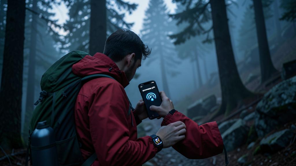
The right reflex. Manage the battery as a safety resource — your hiking phone is your map AND your beacon: 100% at departure, economy mode activated, screen off between checks (trace recording runs with a black screen — consumption comes from the SCREEN, not the GPS), airplane mode in white zones (the phone SEARCHING for a network drains twice as fast — prepared offline mode makes airplane mode painless), and the external battery in your bag as soon as the outing exceeds half a day (100 grams that change everything — our travel guides): a dead phone halfway through is not a comfort failure — it’s the simultaneous loss of the map, position, and rescue.
On the trail: navigating, orienting, deciding
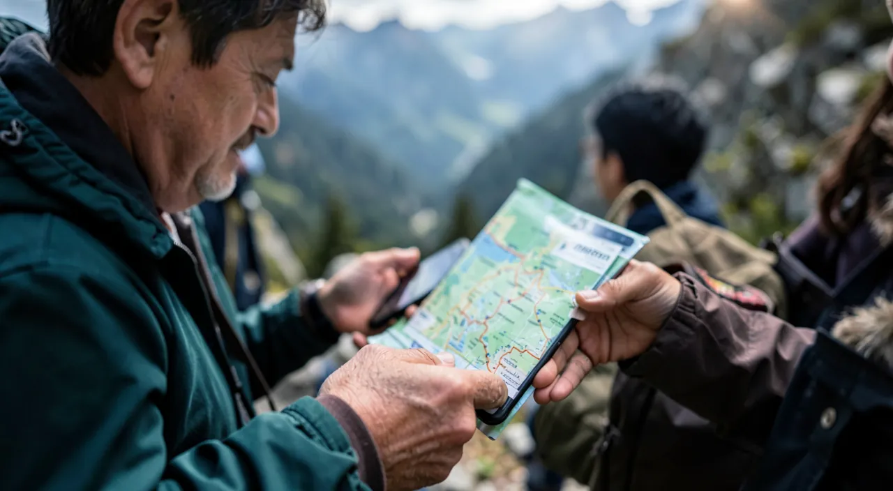
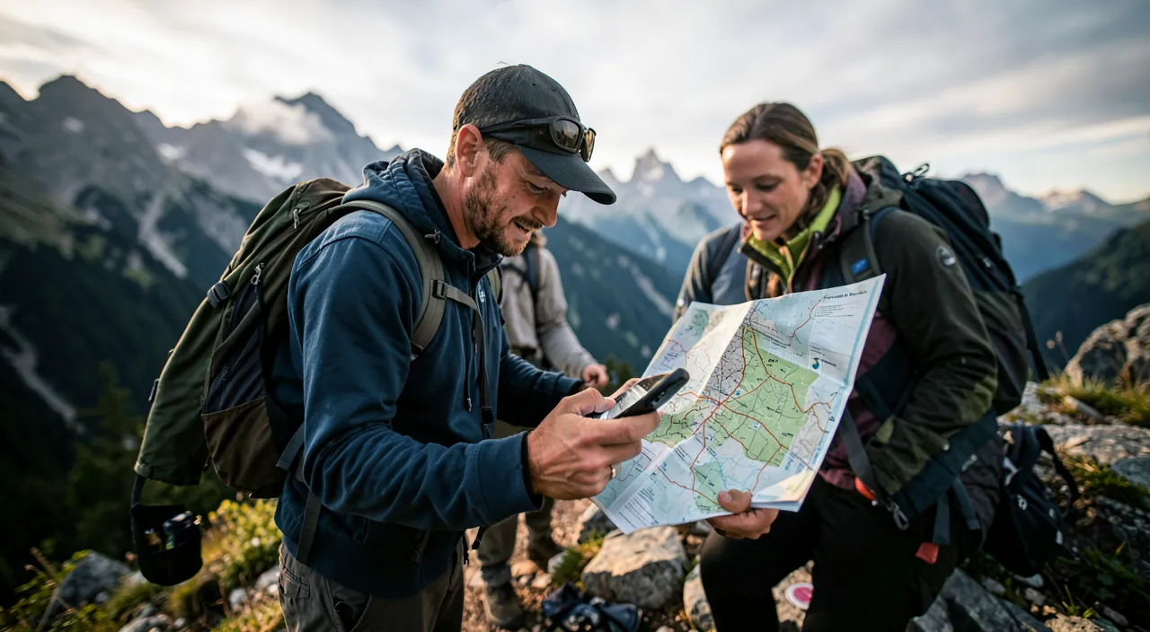
The terrain, methodically: the trace navigation — your position on the route in a glance (intersection doubts resolved in ten seconds — the function that killed the U-turn: consult AT EVERY uncertainty, a 50m correction is better than a 2km one), the deviation alerts from some apps (the beep of the unintentional off-trail); the human reading that remains — the real markings take precedence (the official trail marks — the GPS trace approximates by a few meters: in doubt, the markings and common sense of the terrain win), the altimeter and curves that warn (the “only 200m of D+ left” that manages the group’s morale), and the gaze LIFTED (the trap of the nose-on-screen: hiking consults, it doesn’t scroll — traditional orientation is also maintained: knowing how to locate north and read the terrain remains the safety net if the technology fails); the field decisions — the U-turn is a skill (the changing weather, the schedule delay, the passage above the group: the app documents — the time, the actual pace, the remaining distance — but it’s you who decides: the summit will be there in the spring); and the recording that serves — the day’s trace (the actual pace of the group that will calibrate the next ones — your personal history is worth all the guides: YOUR hour per 300m of D+ measured, not estimated), the geolocated photos (the reported mushroom, the located panorama), and the shared story upon return (the successful loop published with its reviews — the community lives on these returns: give back what was given to you).
Connected safety: from minor mishaps to real trouble
The safety layer, graduated: the basic digital first aid kit — the emergency contact info on the phone filled out (our guides — rescuers consult it), position sharing with the loved one left behind (our guides — continuous position as long as there’s network), useful numbers (the European 112 — which SWITCHES to any available network even without your operator: emergency calls often go through where normal calls fail); the functions that save — the phone’s emergency call (button presses — our guides), the fall detection from watches (our guides — especially meaningful in solo hikes), and the satellite SOS from recent phones (the emergency message WITHOUT ANY network — the function that changed the game of no-service areas: check if your model has it, learn the gesture BEFORE — and for regular off-trail users, dedicated satellite beacons remain the reference); the rules that prevent getting there — water and margin (the two classic shortages), route announcement (again), the group that stays together, and weather humility; and the family case — children equipped with a whistle (the ancient one that works), the rule of “we wait at intersections,” and the hiking game (geocaching and nature recognition apps — our plant guides: the treasure hunt and “what flower is this?” that make the little ones walk without noticing: the best family hiking app is the one that makes you forget you’re walking).
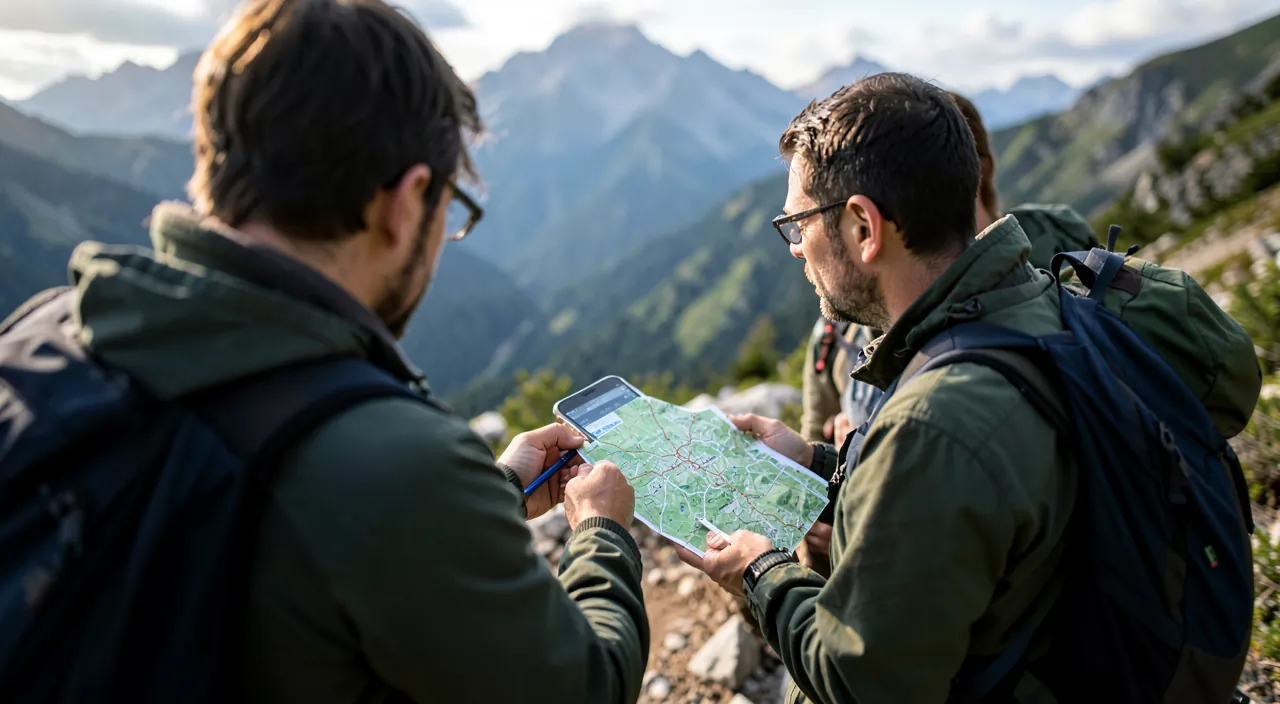
Beware of over-sold hikes — the community disease. Platforms have their biases: over-frequented photogenic viewpoints (the viral spot that turns a fragile trail into a highway — and an alpine meadow into mud: app-guided overcrowding is a real environmental issue: less-rated alternatives are often just as beautiful and empty), routes above actual abilities (a “moderate” trail runner’s route isn’t yours — elevation gain judged on YOUR past data), and “secret” hikes that are no longer secret: the connected hiker’s label — marked trails respected, shortcuts refused (erosion), wildlife at a distance (drones and persistent photos disturb), flowers photographed NOT picked, and trash brought back down (including “biodegradable”): nature doesn’t have a recovery app — the most important offline mode is this one.
Frequently asked questions
Is the phone’s GPS reliable in the mountains?
Yes for position (GPS works WITHOUT network — that’s the core of offline mode: satellite, not antenna), with its known limits: narrow gorges and dense forests degrade precision, barometric altitude drifts (calibrated watches do better), and cold kills batteries (keep the phone close to your body in winter). The paper map of the area + a compass at the bottom of your bag remain the doctrine for committed outings — 50 grams of insurance that never fail.
What app to start with, concretely?
A major free community app (rated loops near you — the “easy, 1-2h” filter to start) + the offline reflex + a small-scale test outing: three Sundays and you’ll know if the taste sticks (then topo mapping and possibly a subscription will be justified — our guides’ progression: the tool follows the practice, never the opposite).
Hiking alone with the phone: reasonable?
Solo hiking is done — with doubled discipline: the route PRECISELY ANNOUNCED (shared route, agreed deadline — “if no news by 6 PM, here’s where I am”), active position sharing, expanded weather and time margins, satellite SOS or beacon for no-service areas, and field humility increased (the doubtful passage attempted with two is refused alone). Solitude in nature is one of the great pleasures of walking — it’s earned through organization.
What to remember
The well-used hiking app comes in four steps: the choice (community for discovery, topo for navigation, the duo for regulars — and offline ALWAYS downloaded the day before), the preparation (elevation gain judged on your real data, recent reviews read, route cross-checked with official trails, mountain weather, route announced to a loved one), the terrain (trace consulted at the slightest doubt, markings that take precedence, battery managed as a safety resource — screen off, airplane mode, external battery), and the graduated safety (emergency contact info, position sharing, 112, satellite SOS learned beforehand). Plus the label that preserves the trails we love. Nature hasn’t changed — it’s the map that has become alive: it owes you magnificent Sundays, and you owe it to look up. Happy trails.
Want to go further with your phone and apps? Our practical training is made for you.
Leave a Reply
You must be logged in to post a comment.